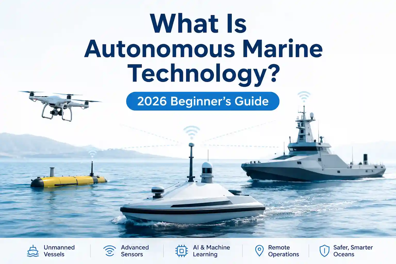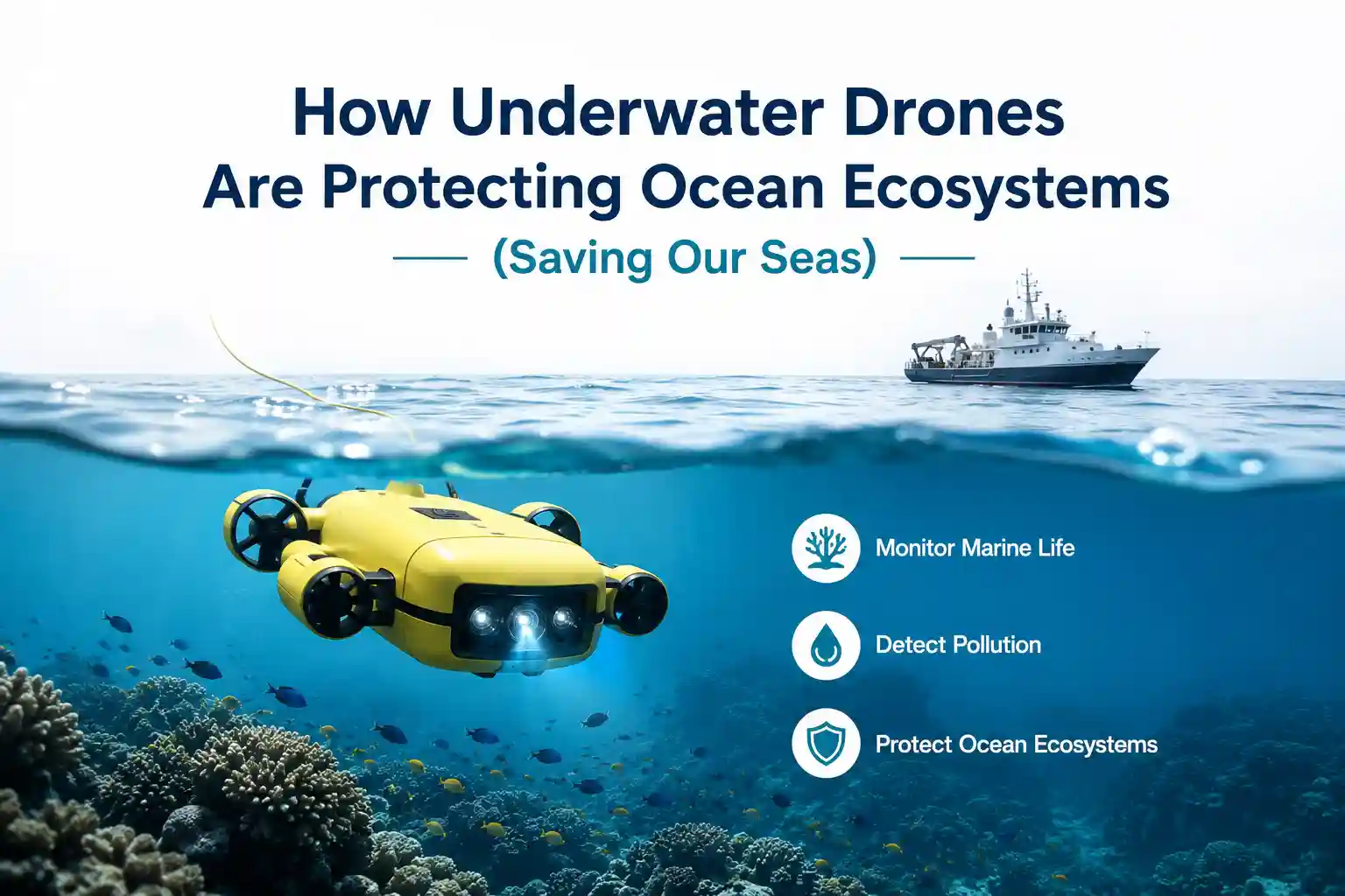
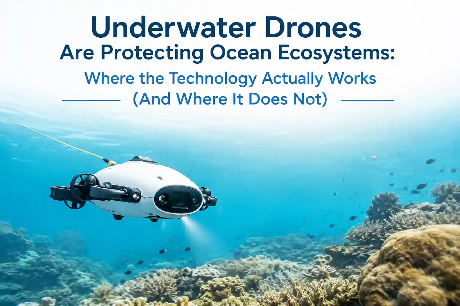
How Underwater Drones Are Protecting Ocean Ecosystems (Saving Our Seas) Field Notes on Subsea Monitoring
The actual mechanics of how underwater drones are protecting ocean ecosystems, the messy, salt-corroded, real-world reality of saving our seas, rarely look like the promotional renders. On a working coastal research vessel off the Oregon shelf, the tether management system was already complaining before the platform broke the surface tension. The slip ring housing had carbon dust buildup from three consecutive dives in cold, abrasive silt. The acoustic modem handshake kept dropping packets as the hull-mounted transducer fought through a shallow thermocline. And the pilot at the control console, wrapped in a dripping deck coat, wasn’t staring at a futuristic command center. They were manually adjusting thruster output vectors to keep the platform from drifting into a kelp forest while waiting for the CTD probe to stabilize.
That moment captures the gap between capability and deployment. The sensors inside the pressure housing work exactly as engineered. The autonomy stack executes waypoint logic precisely. But the ocean doesn’t read a spec sheet. Current shear, suspended particulate matter, biofouling rates, and multipath acoustic interference rewrite the operating parameters the minute the vehicle crosses the surface. The ecosystem data that eventually reaches conservation agencies isn’t collected in sterile laboratory conditions. It’s pulled from a platform fighting drag coefficients, battery cutoff thresholds, and software that struggles to reconcile raw sonar returns with actual seafloor topography.
This isn’t an argument against remote subsea monitoring. It’s an observation of what happens when digital acquisition meets marine fluid dynamics. The friction doesn’t live in the vendor brochure. It lives in the umbilical drag, the degraded lens coatings, the acoustic dropouts, and the quiet compromises researchers make when the real-time feed stops matching the water column.
Hardware Behavior in Active Water Columns
Manufacturers publish depth ratings, ingress protection scores, and thruster efficiency curves in tow-tank environments. In open water, those specifications meet continuous hydrodynamic loading, temperature stratification, and the specific resonance frequencies of coastal surge zones. I’ve pulled ROV frames off deployment winches where the syntactic foam buoyancy modules remained structurally intact, but the stainless steel mounting brackets had developed micro-fractures from repeated cyclic loading during heavy swell operations. Salt didn’t cause immediate failure. It crystallized along cable gland threads, wicking moisture into junction boxes during rapid pressure equalization after surfacing.
The platform didn’t crash. It just started reporting skewed heading data until a hard reset cleared the IMU drift. The shore-based data pipeline saw a navigation anomaly. The deck crew saw a routine afternoon recovery.
Deployment delays rarely come from missing spare parts. They come from tether routing constraints. You can’t run heavy umbilicals parallel to high-tension deck winch lines without introducing vibration transmission that fatigues internal conductors. You can’t deploy multibeam sonar arrays near surface outflow plumes without getting constant acoustic scattering in the bathymetric returns. You can’t mount optical cameras on vectored thruster pods where cavitation bubbles degrade image clarity during station-keeping maneuvers. Every placement decision is a compromise between optimal sensor field-of-view and practical hydrodynamic clearance.
Research teams adapt quickly, but not always in ways that align with manufacturer guidelines. I’ve seen umbilical strain reliefs secured with marine-grade tape and custom shackles because the factory-rated quick-disconnects vibrated loose after four months of heavy use. I’ve watched operators reroute acoustic modem cabling away from main propulsion shaft housings to prevent electromagnetic interference, accepting a slightly lower telemetry throughput in exchange for clean heading updates. These aren’t violations of protocol. They’re field modifications for keeping the platform functional in an environment that actively degrades submerged electronics.
Seawater exposure doesn’t announce itself with dramatic short circuits. It creeps along sacrificial zinc anodes. It oxidizes unused waterproof connector pins. It bridges unshielded test leads during heavy deck wash conditions. Maintenance cycles that look reasonable on paper—monthly pressure checks, biannual seal replacements—compress rapidly when a platform operates in sea state 3 or higher more than seventy percent of its operational window. The pressure housing survives. It just requires more hands-on attention than the deployment manual suggests.
Turbidity, Thrusters, and the Photogrammetry Problem
I ran a localized comparison using delayed acoustic refresh intervals and buffered optical data streams to mimic degraded visibility conditions during outflow plume monitoring. The setup wasn’t meant to stress-test hardware endurance. It was meant to observe how quickly turbidity compromises photogrammetric reconstruction when the platform’s thrusters kick up suspended sediment faster than the camera can capture clear frames.
Within two minutes of active positioning in a tidal channel, the optical feed began showing progressive clarity loss. The platform was actually holding a steady position over a degraded eelgrass bed, adjusting azimuth thrusters incrementally to counteract lateral current shear. The control software began flagging low-confidence feature matches and auto-triggering higher ISO gain. The deck operator had to manually override the exposure settings and request a slower approach vector before the mapping software discarded the data batch as unusable.
The discrepancy didn’t come from faulty optics. It came from the software assuming clear water transmission when the hydrodynamics were actively scattering light. Photogrammetric mapping works beautifully in controlled harbor basins. It struggles when sediment suspension, dissolved organic matter, and thruster wash degrade the signal-to-noise ratio faster than the acquisition interval can compensate.
Software friction compounds during high-current deployments. When multiple sensor arrays publish simultaneously—multibeam bathymetry, side-scan sonar, hyperspectral imaging, and real-time water quality profiling—the control interface becomes an operational bottleneck. Alerts fire for battery voltage sag, thruster cavitation warnings, modem packet loss, and sensor temperature thresholds. You scroll past a dozen status indicators to find the one parameter that actually matters during a restricted visibility dive. The interface doesn’t malfunction. It just demands more cognitive bandwidth than a two-person pilot/mission specialist team can reasonably spare during active station-keeping.
I’ve noticed that the most effective subsea deployments don’t push every available telemetry stream to the primary console. They filter aggressively. They suppress routine voltage fluctuations. They prioritize deviations that exceed operational thresholds. The raw data sits in local SSD storage for later post-processing. It’s a less elegant approach during the dive, but it prevents interface clutter from masking genuine sensor anomalies.
What the Real-Time Feed Actually Captures
The researchers who extract usable ecosystem data from underwater platforms aren’t reading integration whitepapers. They’re the marine biologists who cross-reference dissolved oxygen profiles with current velocity logs, then wash it against historical benthic survey data to identify hypoxic zone expansion patterns. They understand that the platform isn’t an autonomous solution. It’s a mobile sampling node that supports longitudinal monitoring when calibrated correctly.
Divers and field technicians rarely treat these dashboards as primary decision tools unless the threshold alerts match actual environmental ranges. If an alarm triggers every time the salinity probe fluctuates within normal estuarine mixing bands, it gets acknowledged and suppressed. Permanently. Implementation resistance rarely comes from skeptical scientists. It comes from systems that demand more console monitoring than the dive schedule allows, and more data validation than the post-processing budget supports.
Operator training isn’t a three-day certification. It’s six to nine months of tweaking control sensitivity curves, watching what actually drifts under cross-current loading, and accepting that half the diagnostic flags are false positives from acoustic multipath, not system failure. The learning curve isn’t steep, but it’s long. You need pilots who understand the difference between a genuine thruster fault and a hydrodynamic artifact. You need data specialists who know how to trace a corrupted point cloud back to a fatigued slip ring contact or a misaligned sonar transducer array.
Infrastructure requirements scale quickly. Heavy-duty launch and recovery systems require stable vessel positioning and clear deck swing zones. Smaller coastal skiffs prioritize diver support and basic tow operations over precision AUV deployment, starving the platform of stable launch conditions during choppy windows. Shore-side data processing workstations handle bathymetric stitching well, but struggle with high-frequency water quality time-series when the acoustic modem drops packets during tidal reversals. Hybrid telemetry architectures solve the coverage problem, but they add configuration complexity, additional failure points, and a heavier calibration burden for field staff.
The cost-to-practicality ratio rarely breaks even on single-mission surveys alone. The real return comes from reduced diver exposure in hazardous zones, earlier detection of gradual benthic degradation, and better spatial coverage of monitoring transects. But those benefits only materialize when the platform is integrated into existing research workflows, not deployed as an isolated proof-of-concept.
Coastal Tethers vs. Offshore Autonomous Runs
Shallow coastal operations compress the operational margin. You’re within visual range of the support vessel most of the day. VHF comms bridge acoustic dead zones, and acoustic modem updates arrive at near-constant baud rates. The platform mostly sits idle, logging depth profiles, turbidity readings, and GPS surface fixes. Control software behaves predictably. Lenses stay clear behind protective acrylic shrouds. Calibration intervals align with port turnaround schedules.
Push past the fifty-meter depth contour or into open shelf currents, and the entire monitoring paradigm shifts. Acoustic latency stretches to multi-second intervals during thermocline refraction events. Wind-driven surface chop introduces heave compensation lag in tether management systems. Pitch and roll sensor noise requires aggressive filtering before heading data becomes usable. Older survey vessels on mid-budget research grants run on legacy DP control loops at slow update rates, which introduces positional drift when you try to hold a platform stationary against a one-knot cross-current.
Automated station-keeping works well when the hydrodynamic environment behaves predictably. Manual override becomes the backup plan when it doesn’t. I’ve seen hybrid deployments where the mission specialist keeps a physical dive log of thruster output adjustments during heavy swell because the automated control loop smoothed out the spike caused by a sudden eddy current. The platform didn’t malfunction. It just averaged the control input in a way that erased the actual water movement.
Commercial research-grade systems handle this better than recreational subsea drones, but only marginally. Commercial platforms include better acoustic error correction, redundant pressure monitoring, and wider operating temperature envelopes. They still struggle with tether drag during heavy rolling, and they still suffer from firmware updates that occasionally break legacy NMEA parsers on the deck control box. The difference is that research crews know how to roll back a patch while the vessel is at anchor. Coastal NGOs and university labs usually don’t have the bandwidth.
Legacy infrastructure compounds these limitations. Vessels retrofitted for subsea research rarely have dedicated telemetry routing channels. You tap into existing dynamic positioning lines, splice into bridge alarm circuits, and hope the signal isolation holds. It usually does, until thermal cycling shifts a ground plane and introduces voltage drift. You don’t find the problem until post-processed bathymetry doesn’t match the historical survey grid. By then, you’ve been operating on skewed positional data for two dive cycles.
Acoustic Realities and Pressure Housing Fatigue
Subsea operational logic doesn’t translate cleanly into control dashboards. A platform isn’t a static data node. It’s a dynamic hydrodynamic mass responding to current shear, density gradients, battery voltage sag, and human intervention. When a control console reports a sudden drop in thruster efficiency, the algorithm looks for a motor fault. The pilot knows the thrusters were manually throttled back because the umbilical developed drag from a kelp entanglement. The software lacks context. It reports what it measures, not what it understands.
Infrastructure limitations amplify the problem. Acoustic modems promise near-constant data return, but thermocline refraction and surface multipath introduce packet loss that isn’t logged as a complete outage. It registers as data gaps. The control interface fills them with interpolated heading vectors. The platform was actually crabbing sideways through a tidal rip. The console draws a straight approach line.
Hardware degradation is rarely catastrophic. It’s cumulative. A fatigued O-ring seal, a corroded slip ring contact, a fouled optical lens, a stretched tension cable on a depth sensor. Each one degrades signal fidelity just enough that the control interface starts smoothing instead of reflecting. Operators adapt by layering redundant sensor checks, but redundancy adds drag, cost, and another set of maintenance intervals that compress during heavy weather operations.
Acoustic reliability fluctuates with environmental conditions. Biological noise from snapping shrimp and passing vessels disrupts carrier frequencies. Suspended sediment attenuates high-frequency returns. High sea states scatter acoustic lobes through wave-induced surface turbulence. The platform doesn’t fail during these conditions. It just operates at reduced telemetry fidelity, reporting what it can capture while the rest sits buffered until the next modem handshake.
Human workflow adaptation is the only thing that bridges the gap. Pilots learn to read the console skeptically. They verify critical depth and heading alerts with physical tether tension checks. They ignore routine voltage fluctuations that fall within normal battery discharge curves. They log positional discrepancies manually when the software smooths out the actual current drift. It’s inefficient on paper. It’s necessary in practice.
Marine engineering research from coastal hydrodynamics labs aligns with these observations. Deployment studies consistently note that automated anomaly detection works best when calibrated to specific hull forms, thruster configurations, and operational profiles. Generic threshold bands generate false positives at an unsustainable rate. The water column introduces noise that tow-tank validation rarely captures. NOAA survey methodology reports and university marine lab calibration studies confirm how environmental variables distort sensor returns when acoustic gates don’t filter for wave-induced pitch and multipath refraction.
Documented Friction Points in Deployment Cycles
The friction accumulates on the recovery cradle and in the data pipeline. It’s rarely dramatic. It’s persistent.
Salt creep along unsealed connector interfaces causes phantom voltage readings that trigger low-power warnings during surface transit. Umbilical routing near deck crane bases softens outer sheathing over twenty dive cycles, requiring replacement during scheduled drydock windows. Control interface clutter becomes a real operational hazard when every subsystem publishes to the same primary console. You’re scrolling past battery bank voltages, thruster azimuth positions, and sonar gain differentials to find the one parameter that actually matters during low-visibility station-keeping.
Firmware updates push through during low-wind harbor conditions, but patch versions occasionally break legacy acoustic modem parsers, forcing the systems integrator to roll back while the research vessel is tied to a commercial dock. Optical sensor degradation on hyperspectral imaging heads shows up as a gradual spectral drift that only gets caught during controlled calibration tank checks. The learning curve isn’t steep, but it’s long. Mission specialists spend more time troubleshooting false telemetry flags than they do responding to actual hydrodynamic anomalies.
Galvanic corrosion doesn’t wait for warranty periods to expire. It exploits every unsealed housing interface, every poorly secured cable tie-down, every mounting bracket that vibrates against painted aluminum deck plating. Maintenance burden scales non-linearly once you exceed the manufacturer’s recommended operating salinity envelope. Inconsistent positional tracking emerges when acoustic handovers collide with heavy swell masking transducer patterns. Weather interference isn’t an exception. It’s the baseline.
Unreliable modem updates compound console frustration. When the system refreshes every two seconds during calm surface conditions, then drops to four-to-five-second intervals in turbid channels, the control interface starts displaying stale heading data that conflicts with the physical tether drag vector. Operators adapt by trusting physical line tension over digital telemetry. It’s a rational compromise, but it undermines the original purpose of the closed-loop deployment.
Launch delays rarely stem from missing spare batteries. They come from vessel geometry constraints, existing deck wiring congestion, and the reality that retrofitting a monitoring platform onto a working research vessel means interrupting scheduled survey operations for days while technicians route acoustic cabling, test signal isolation, and calibrate depth sensor baselines. You can’t just deploy it and collect clean datasets. You have to integrate it into an operational rhythm that’s already running at capacity.
Operational Adaptations on the Waterline
Underwater monitoring platforms deliver usable ecosystem data when they’re treated as mobile sampling nodes, not autonomous survey solutions. Operators who survive deployment friction don’t chase perfect real-time telemetry streams. They build tolerance for acoustic latency, cross-reference console flags with physical tether tension checks, and accept that some environmental sensors will drift until controlled recalibration can catch them. The systems are functional. They’re just not independent.
You still need a pilot on the control console who knows the difference between a thruster cavitation event and a genuine motor fault. Someone willing to wipe condensation off a protective display housing, trace a corrupted acoustic packet back to a loose slip ring lug, and understand that coastal current profiles rarely match the deployment spreadsheet. You need principal investigators who recognize that remote subsea monitoring reduces physical risk, but doesn’t eliminate the need for experienced hydrodynamic judgment.
The technology doesn’t replace field expertise. It extends it. It gives research teams more spatial coverage to work with, but it also gives more ways to misinterpret what the water column is actually showing if you don’t understand the acoustic and optical environments the platform is measuring. The most successful deployments aren’t the ones with the cleanest control dashboards. They’re the ones where operators know exactly what the system can’t capture in real-time, and they compensate with calibrated post-processing workflows.
Marine ecosystem protection doesn’t happen because a drone captures a high-resolution image of degraded habitat. It happens because that data survives the journey through acoustic dropouts, turbid water columns, thruster cavitation, and post-processing validation to reach the agencies that actually allocate conservation funding and enforce compliance. The platforms are tools. They’re just tools that demand respect for the physics they operate in.