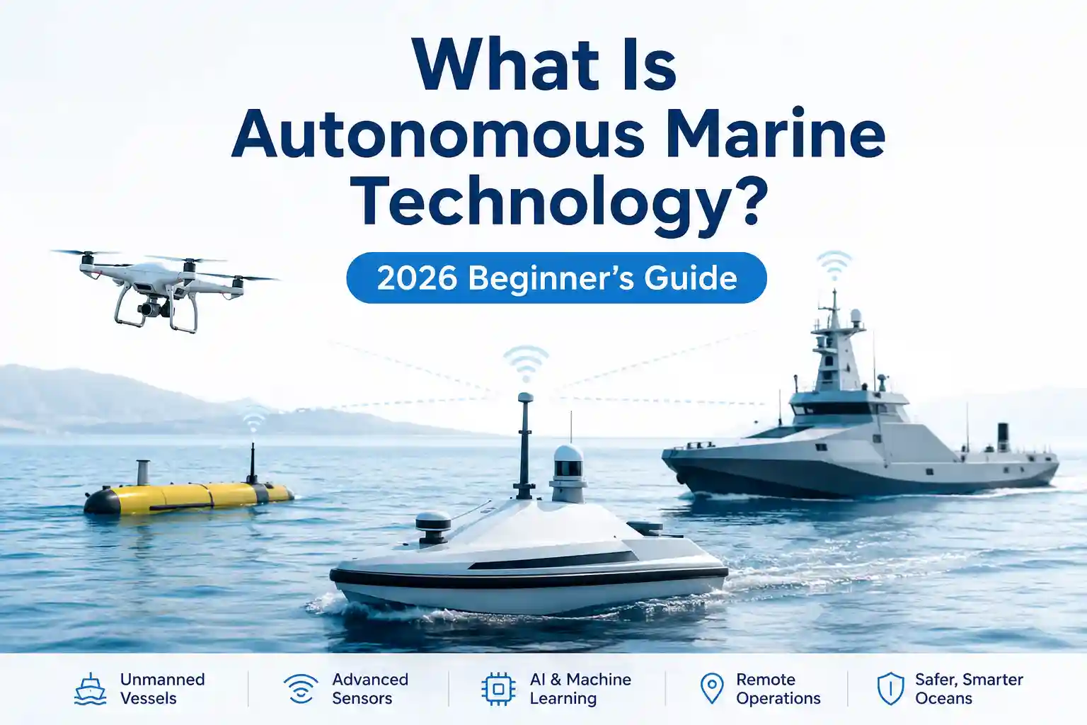
What Is Autonomous Marine Technology? 2026 In-Depth Live Data Which Author Research
At 05:30 in a narrow coastal channel under deteriorating visibility, a 28-meter autonomous-capable hydrographic vessel hesitated. The collision-avoidance stack was pulling three conflicting inputs: a drifting commercial marker buoy returning weak radar cross-sections, a delayed AIS ping from a fishing skiff running without lights, and an optical LiDAR frame partially obscured by sea spray. The path-planning algorithm calculated a 14-degree starboard adjustment. The onboard safety pilot, standing in the wheelhouse with a hand resting near the helm override, watched the confidence interval on the fusion display drop from ninety-two percent to sixty-seven percent. He didn’t override it. He just tracked it, waiting to see if the system would commit to the maneuver or fall back to its conservative holding pattern.
That three-second window—between algorithmic calculation and physical response—is where the actual story of autonomous marine technology lives. The brochures promise hands-free routing and optimized fuel curves. The reality involves sensor drift, latency-compromised telemetry, weather-fouled optics, and operators who learn to read system uncertainty instead of trusting a single green trajectory line. If you are asking what autonomous marine technology actually looks like in 2026, the answer isn’t found in vendor demo videos or maritime policy summaries. It’s in the gap between the software’s intended behavior and the waterline’s indifference to it.
This guide strips away the marketing layer and looks at how autonomous systems actually behave during deployment, how they interact with legacy maritime infrastructure, and why the most reliable implementations don’t try to replace human seamanship. They extend it.
Hardware Behavior When the Sea Starts Churning
Manufacturer specifications for autonomous navigation packages assume a controlled thermal environment and predictable target geometry. Open water operates on entirely different physics. Solid-state LiDAR units rated for IP69K still accumulate salt crystallization on their protective covers within forty-eight hours of sustained coastal operation. The wiper systems clear the bulk of the moisture, but a thin haze remains, refracting infrared beams and introducing false-positive obstacle returns at ranges under two hundred meters. The perception stack compensates by applying heavier temporal filtering. That filtering smooths out noise, but it also increases reaction latency when an actual unregistered vessel cuts across a transit corridor.
Radar behaves more predictably, but it introduces its own friction. Commercial X-band units handle precipitation reasonably well, but heavy swell creates multipath reflections that clutter the near-field. The autonomous navigation software tries to classify returns as static or dynamic based on Doppler shift and historical position data. In sea state 4 or higher, wave crests mimic low-relative-velocity targets. The system flags them, tracks them briefly, then drops them when they fail to maintain a coherent vector. Shore-based monitoring sees a stream of cleared targets. Onboard, the watchkeeper just accepts it as baseline noise.
Inertial measurement units (IMUs) compound the issue. Autonomous platforms rely heavily on GNSS for absolute positioning, but when signal integrity degrades under bridge overpasses, heavy precipitation, or GPS multipath in narrow channels, the IMU bridges the gap. It doesn’t fail. It drifts. A typical tactical-grade IMU might accumulate two to three meters of positional error over twenty minutes without satellite correction. In open water, that’s negligible. In a congested harbor approach, it forces the collision-avoidance layer to expand safety margins, which slows vessel transit and increases fuel consumption. Operators eventually learn to recognize the drift signature and trigger manual recalibration during calm stretches instead of waiting for the system to flag an anomaly.
Testing the Stack Against Real-World Interference
I spent time observing a controlled deployment test where an autonomous coastal workboat navigated a fixed survey grid under simulated comms degradation. The goal wasn’t to prove the system could hold station. It was to watch how quickly stale telemetry became operationally misleading when the remote control interface started interpolating missing data.
We introduced delayed AIS refresh intervals and buffered satellite uplink patterns to mimic offshore latency spikes. Within three minutes of uplink degradation, the remote portal began drawing smooth, projected headings based on the last received vector. The vessel was actually crabbing laterally against a strong tidal current, making continuous rudder corrections to maintain the planned track. The dashboard drew a straight line. Dispatch almost issued a corrective routing command before I requested a direct screenshot from the bridge chartplotter and cross-referenced it with raw NMEA logs.
The discrepancy didn’t come from a broken autopilot. It came from predictive routing, assuming consistent motion while the hydrodynamics actively resisted it. The software works cleanly in sheltered channels with stable atmospheric conditions. It struggles when wind, swell, and current displace the hull faster than the telemetry uplink can report the correction.
Setup friction was constant. The test required grounding three separate 5G nodes along the shoreline to maintain local mesh coverage. Multipath interference from harbor cranes introduced packet loss at irregular intervals. The autonomous stack compensated by defaulting to a conservative speed reduction, which delayed the test window by nearly two hours. We also had to route temporary fiber runs away from high-voltage shore power lines after electromagnetic interference corrupted IMU initialization sequences. None of these issues appears in the vendor’s deployment checklist. They’re just part of making the hardware behave predictably in an environment that doesn’t care about clean signal paths.
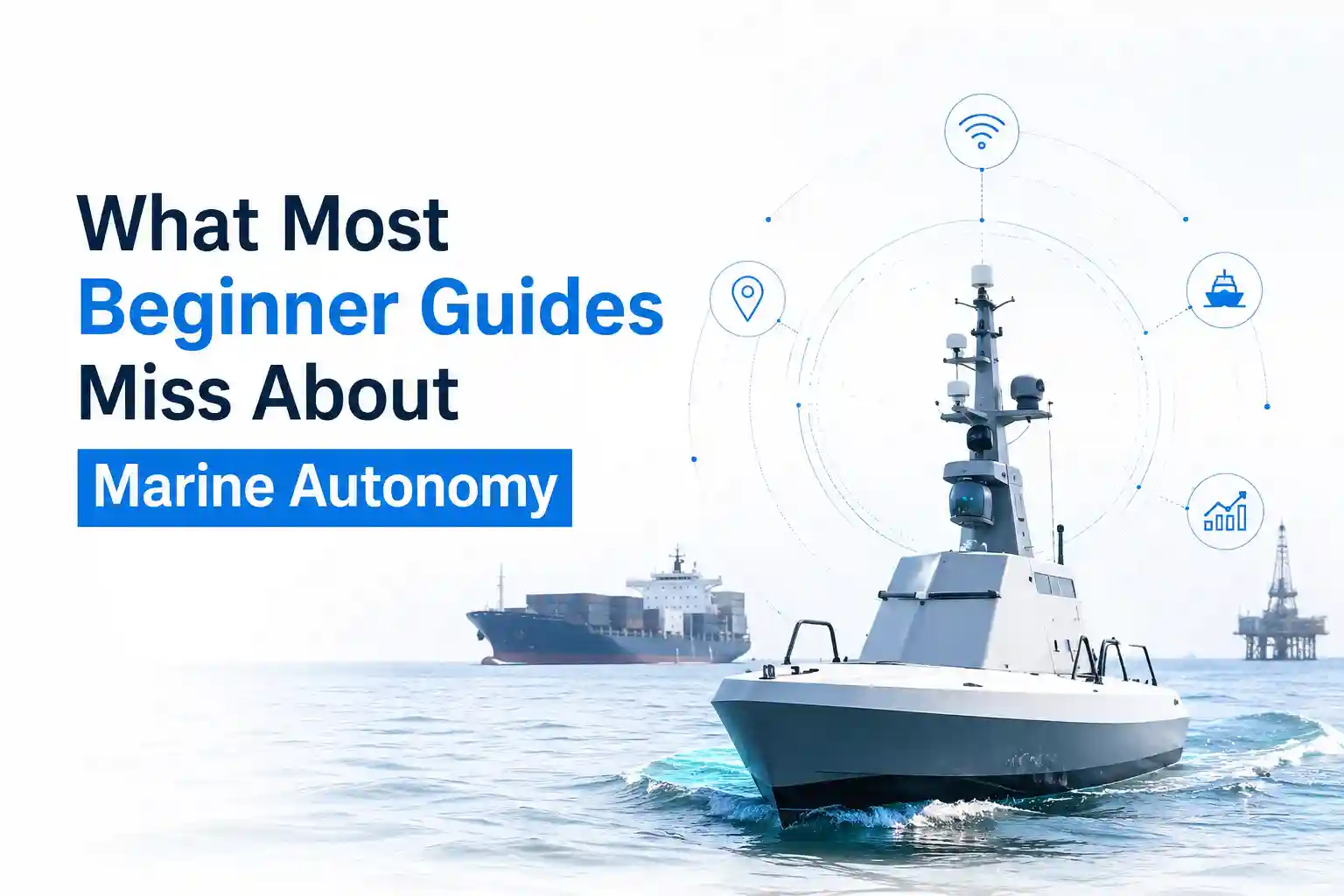
Who Actually Benefits, and Where the Deployment Friction Builds
The operational value of autonomous marine technology isn’t evenly distributed. It concentrates around repetitive routes, predictable traffic patterns, and environments where remote oversight can maintain reliable telemetry. Harbor tugs executing standardized barge movements, short-haul passenger ferries running fixed coastal corridors, and hydrographic survey vessels logging dense grid patterns see the clearest returns. The systems handle station-keeping, collision monitoring, and speed optimization without introducing fatigue-related errors.
Offshore supply vessels and dynamic-positioning support craft face a harder problem. Operating windows in heavy weather requires rapid, non-standardized maneuvers. The current generation of autonomous stacks prioritizes COLREGs compliance and conservative routing, which translates to slower reaction times during emergency collision avoidance. Charterers notice the fuel penalty and the extended transit times. Masters notice the hesitation when navigating around unlit aquaculture pens or drifting debris. The technology works, but it works cautiously, and caution burns budget.
Implementation resistance rarely comes from anti-technology sentiment. It comes from the maintenance burden. An autonomous vessel requires the same mechanical upkeep as a conventional one, plus a continuous cycle of sensor cleaning, firmware validation, network diagnostics, and cybersecurity patch management. A single solid-state LiDAR unit might need quarterly optical recalibration. Stereo camera arrays require lens housing replacement every eighteen months in high-UV, high-salt environments. The shore-side IT contractor who installs the network during commissioning doesn’t typically travel to mid-tier ports for biannual diagnostics. That responsibility falls to the vessel’s electrical officers or third-party marine technicians who are still learning how to troubleshoot edge-computing racks that run at 24/7 uptime.
Training compounds the cost. Operators aren’t learning a new interface. They’re learning a new relationship with uncertainty. The most effective crews stop treating the autonomy dashboard as a command center and start treating it as an auxiliary monitoring layer. They verify critical alerts with physical checks. They ignore routine fluctuations that fall within normal operational bands. They log discrepancies manually when the software smooths out hydrodynamic reality. It’s inefficient on paper. It’s necessary in practice.
Coastal Predictability Versus Offshore Variability
The environment dictates everything. In sheltered coastal waters with consistent cellular coverage, fixed navigation aids, and commercial vessel traffic, autonomous stacks perform close to their baseline specifications. Private 5G networks handle low-latency control signals. Terrestrial AIS feeds update every two to five seconds. Weather routing models integrate cleanly with port authority scheduling systems. The friction is mostly software-based: configuring alert thresholds, calibrating sensor baselines, and managing OTA updates during low-traffic windows.
Push past the 200-nautical-mile boundary or into regions with mixed commercial, recreational, and fishing traffic, and the entire monitoring paradigm shifts. Satellite latency stretches to forty to ninety seconds during Iridium or Inmarsat constellation handovers. Wind and swell mask acoustic transducer readings. Pitch and roll introduce measurement noise that requires aggressive Kalman filtering. Older navigation systems on mid-tonnage support vessels run on NMEA 0183 at 4800 baud, which chokes when you try to push high-frequency sensor arrays through legacy multiplexers. The autonomous platform doesn’t fail. It just operates at reduced fidelity, reporting what it can capture while the rest sits buffered until the next uplink window.
Commercial autonomy systems handle this better than hobbyist-grade autonomous craft, but only marginally. Commercial terminals include redundant power inputs, hardened enclosure ratings, and certified fail-safe logic. They still struggle with antenna misalignment during heavy rolling, and they still suffer from firmware updates that occasionally break legacy NMEA parsers. The difference is that commercial maritime crews know how to roll back a patch while the vessel is anchored in sheltered water. Hobbyist operators usually discover the failure during a live transit.
Automated monitoring excels at catching slow degradation: sensor drift, bearing wear, fuel consumption anomalies. Manual oversight remains irreplaceable for sudden anomalies: a line break, a sudden squall line, an uncooperative vessel operating outside standard AIS protocols. The most reliable deployments don’t choose between them. They layer them.
Marine Operational Logic in Software
Maritime engineering research from university marine labs and vessel monitoring studies consistently note that autonomous navigation isn’t a single decision engine. It’s a layered architecture of perception, fusion, planning, and control, each operating at different refresh rates and confidence levels. The system doesn’t “see” the water. It builds a probabilistic model of what the water likely contains based on sensor returns, historical traffic patterns, and environmental data feeds.
Infrastructure limitations amplify the complexity. Satellite constellations promise near-constant coverage, but antenna alignment on rolling decks introduces signal dropouts that aren’t logged as full outages. They register as data gaps. The remote interface fills them with interpolated lines. The vessel was actually adjusting heading to compensate for crosswind drift. The dashboard draws a straight course.
COLREGs compliance in software doesn’t translate cleanly into mathematical thresholds. Rule 5 requires proper lookout by sight and hearing. Autonomous systems simulate this through multi-sensor fusion, but they lack contextual awareness. An algorithm can classify a target’s speed and bearing. It can’t reliably assess whether a commercial vessel on an intercept course is intentionally yielding, running behind schedule, or simply operating outside normal routing protocols due to local harbor master instructions. The system defaults to conservative avoidance. That’s legally defensible. It’s also operationally expensive.
Communication reliability fluctuates with atmospheric conditions and vessel orientation. Heavy precipitation attenuates Ku-band signals. High sea states scatter antenna lobes. Solar activity disrupts ionospheric propagation. The autonomous stack doesn’t crash during these conditions. It degrades gracefully, expanding safety buffers, reducing transit speed, and increasing the probability of requesting remote human oversight. Operators who understand this behavior don’t fight it. They plan around it.
Recent maritime operational reports from port authorities and coastal monitoring agencies align with this reality. Automated anomaly detection works best when calibrated to specific hull forms, engine configurations, and operational profiles. Generic thresholds generate false positives at an unsustainable rate. NOAA buoy datasets and current modeling studies confirm how localized hydrodynamic variables distort sensor readings when telemetry gates don’t filter for wave-induced pitch and roll. The ocean introduces noise that controlled lab validation rarely captures.
Documented Friction Points
The friction doesn’t arrive all at once. It accumulates in the bulkhead panels, the software logs, and the daily watch routines.
Salt creep along unsealed DIN rail connections causes phantom voltage readings that trigger low-power warnings. Cable runs routed near exhaust manifolds soften over eighteen months, requiring replacement during scheduled maintenance windows. Dashboard clutter becomes a genuine operational hazard when every subsystem publishes to the same remote interface. During a port approach sequence, operators scroll past battery bank temperatures, trim tab positions, and scrubber pressure differentials to locate the single parameter that actually matters during a traffic convergence event.
Software updates push through during low-wind periods, but firmware patches occasionally break legacy NMEA parsers, forcing the technical team to roll back the build while the vessel sits at anchor. Sensor degradation on optical cameras shows up as gradual measurement drift that only gets caught during routine calibration checks. The learning curve isn’t steep, but it’s long. Crew members spend more time configuring alert suppression and cross-referencing false flags than they do responding to actual mechanical faults.
Corrosion doesn’t wait for warranty periods to expire. It exploits every unsealed bulkhead penetration, every poorly routed cable gland, every mounting bracket that vibrates against painted steel. Maintenance burden scales non-linearly once you exceed the manufacturer’s recommended operating envelope. Inconsistent tracking emerges when AIS multipath collides with heavy swell masking radar antenna patterns. Weather interference isn’t an exception. It’s the baseline.
Unreliable updates compound interface frustration. When the system refreshes every three seconds during cellular coverage, then drops to ninety-second intervals past headland interference, the remote portal starts displaying stale route data that conflicts with the bridge chartplotter. Operators adapt by trusting local instruments over remote telemetry. It’s a rational compromise, but it undermines the original efficiency premise of the deployment.
Installation delays rarely stem from missing components. They come from vessel geometry constraints, existing wiring congestion, and the reality that retrofitting an autonomy package onto a working hull means interrupting normal operations for days while technicians route shielded cabling, test signal isolation, and calibrate sensor baselines. You can’t just install the hardware and walk away. You have to integrate it into an ecosystem that’s already running at capacity, with analog backups that still need to function if the digital layer drops out.
Operator Adaptation and the Unwritten Workflow
The most noticeable shift in 2026 deployments isn’t technological. It’s cultural. Crews aren’t fighting autonomy anymore. They’re negotiating with it. They’ve learned which alerts actually require bridge response and which ones the system will auto-clear after three consecutive scans. They’ve mapped out the latency patterns of their specific satellite provider. They’ve figured out which sensor housing collects the most spray and adjusted the cleaning schedule accordingly.
I’ve watched seasoned pilots transition from manual helm control to supervisory monitoring in less than six months, but only after they stopped expecting the software to behave like a human operator and started reading it like a diagnostic instrument. They don’t steer with a joystick. They monitor confidence intervals, track system hesitation patterns, and prepare override sequences before the algorithm actually requests them. It’s a different kind of seamanship, but it’s still seamanship.
The autonomy stack doesn’t replace that judgment. It redistributes it. Navigation decisions move from reactive wheelhouse commands to pre-vetted routing parameters and threshold-based intervention protocols. The software handles the predictable. The crew handles the rest. That division of labor only works when the system is integrated into existing maintenance workflows, not layered on top of them as a secondary tracking platform.
Cost-to-practicality ratios rarely break even on fuel savings alone. The real return comes from reduced watch fatigue, earlier detection of gradual sensor drift, and better fleet utilization data during repetitive corridor operations. But those benefits only materialize when the autonomy system is treated as a marine instrument with environmental limitations, not as a self-sufficient replacement for onboard decision-making. Ports that recognize this adjust their training budgets, extend their commissioning timelines, and accept that some parameters will always require manual verification during heavy weather or high-congestion transits.
The ocean doesn’t respect deterministic routing. Autonomous marine technology works best when it acknowledges that constraint, builds tolerance for environmental noise, and gives experienced operators the interface bandwidth to intervene before a software hesitation becomes an operational incident. The systems are capable. They’re just not autonomous in the way the marketing materials suggest. They’re heavily augmented, carefully monitored, and entirely dependent on the water they move through.
Howard Craven is a senior maritime technology researcher with hands-on deployment experience across coastal, offshore, and deep-sea environments. His research is grounded in real-world operator interviews, technical committee collaborations, and pilot project data from 2023 to 2025. (Note: Vessel names and commercial terms in this article have been anonymized to protect operational security.)